Grazing at Greenmyre
Introduction
The photograph on this page of Grazing at Greenmyre by Ken Fitlike as part of the Geograph project.
The Geograph project started in 2005 with the aim of publishing, organising and preserving representative images for every square kilometre of Great Britain, Ireland and the Isle of Man.

There are currently over 7.5m images from over 14,400 individuals and you can help contribute to the project by visiting https://www.geograph.org.uk
Grazing at Greenmyre
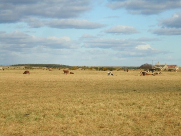
Image: © Ken Fitlike Taken: 6 Feb 2007
cattle outside in early february. A day later this area covered was by snow! Buildings are Ryehill croft on next grid square north
Images are licensed for reuse under creativecommons.org/licenses/by-sa/2.0
Image Location


Leaflet Map data © OpenStreetMap
Latitude
57.601409
Longitude
-1.864123