Path to the Stuckie Bridge
Introduction
The photograph on this page of Path to the Stuckie Bridge by Lairich Rig as part of the Geograph project.
The Geograph project started in 2005 with the aim of publishing, organising and preserving representative images for every square kilometre of Great Britain, Ireland and the Isle of Man.

There are currently over 7.5m images from over 14,400 individuals and you can help contribute to the project by visiting https://www.geograph.org.uk
Path to the Stuckie Bridge
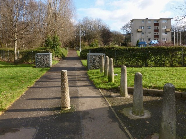
Image: © Lairich Rig Taken: 6 Feb 2013
For more context, see Image The block of flats in the left background of that picture is the same one as shown here; the path can also be seen in that picture, just in front of the building. This path leads to Jamestown, crossing the Stuckie Bridge (Image) on the way. For the area behind the hedge on the right, see Image
Images are licensed for reuse under creativecommons.org/licenses/by-sa/2.0
Image Location
Latitude
55.997106
Longitude
-4.578445