Footbridge over the railway line
Introduction
The photograph on this page of Footbridge over the railway line by Lairich Rig as part of the Geograph project.
The Geograph project started in 2005 with the aim of publishing, organising and preserving representative images for every square kilometre of Great Britain, Ireland and the Isle of Man.

There are currently over 7.5m images from over 14,400 individuals and you can help contribute to the project by visiting https://www.geograph.org.uk
Footbridge over the railway line
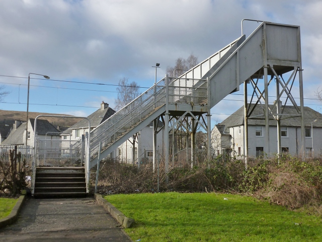
Image: © Lairich Rig Taken: 6 Feb 2013
This picture was taken from the Rosshead side of the bridge; it leads to the junction of Argyll Street and Burns Street at the south-eastern corner of Levenvale. See Image for a view from the other side. See Image for a view northwards from the bridge, and of Burns Street on the other side, and for more information about the line.
Images are licensed for reuse under creativecommons.org/licenses/by-sa/2.0
Image Location
Latitude
55.997238
Longitude
-4.580699