Engels Street, Levenvale
Introduction
The photograph on this page of Engels Street, Levenvale by Lairich Rig as part of the Geograph project.
The Geograph project started in 2005 with the aim of publishing, organising and preserving representative images for every square kilometre of Great Britain, Ireland and the Isle of Man.

There are currently over 7.5m images from over 14,400 individuals and you can help contribute to the project by visiting https://www.geograph.org.uk
Engels Street, Levenvale
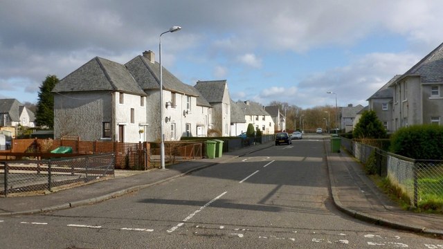
Image: © Lairich Rig Taken: 6 Feb 2013
The street is named after Friedrich Engels, continuing a political theme that is evident in other street-names nearby: for example, the picture was taken from the junction with Image, and, not far ahead, the street is crossed by Image It ends at Burns Street, which is adjacent and parallel to the railway line at the eastern edge of Levenvale: see Image, which shows Burns Street.
Images are licensed for reuse under creativecommons.org/licenses/by-sa/2.0
Image Location
Latitude
55.997823
Longitude
-4.582823