Bannachra Crescent, Tullichewan
Introduction
The photograph on this page of Bannachra Crescent, Tullichewan by Lairich Rig as part of the Geograph project.
The Geograph project started in 2005 with the aim of publishing, organising and preserving representative images for every square kilometre of Great Britain, Ireland and the Isle of Man.

There are currently over 7.5m images from over 14,400 individuals and you can help contribute to the project by visiting https://www.geograph.org.uk
Bannachra Crescent, Tullichewan
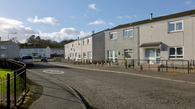
Image: © Lairich Rig Taken: 6 Feb 2013
This street is at the south-eastern extremity of the Tullichewan housing estate. Much of this grid square is taken up by Tullichewan and by Levenvale, the latter area of housing being on the other side of the main road (Luss Road); so, for representative views of the grid square, I have included several such street scenes. See also Image, taken from further ahead, around the corner. On the name Tullichewan itself, which long pre-dates this area of housing, see Image
Images are licensed for reuse under creativecommons.org/licenses/by-sa/2.0
Image Location
Latitude
55.995006
Longitude
-4.588569