Honiton from the south east
Introduction
The photograph on this page of Honiton from the south east by Tony Atkin as part of the Geograph project.
The Geograph project started in 2005 with the aim of publishing, organising and preserving representative images for every square kilometre of Great Britain, Ireland and the Isle of Man.

There are currently over 7.5m images from over 14,400 individuals and you can help contribute to the project by visiting https://www.geograph.org.uk
Honiton from the south east
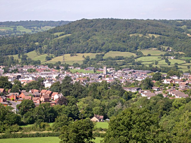
Image: © Tony Atkin Taken: 30 Aug 2005
The subject grid reference for this photo has been located on St Peter's Church which is the prominent tower at the centre.
Images are licensed for reuse under creativecommons.org/licenses/by-sa/2.0
Image Location


Leaflet Map data © OpenStreetMap
Latitude
50.800157
Longitude
-3.188653