Andrew's Wood
Introduction
The photograph on this page of Andrew's Wood by Marathon as part of the Geograph project.
The Geograph project started in 2005 with the aim of publishing, organising and preserving representative images for every square kilometre of Great Britain, Ireland and the Isle of Man.

There are currently over 7.5m images from over 14,400 individuals and you can help contribute to the project by visiting https://www.geograph.org.uk
Andrew's Wood
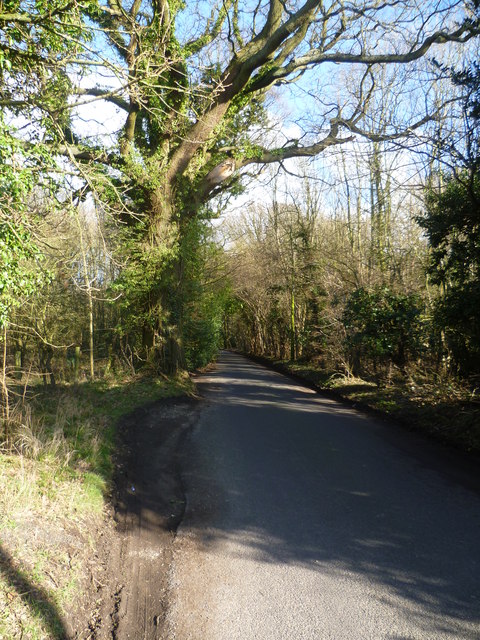
Image: © Marathon Taken: 17 Feb 2013
This view is close to the Polhill Roundabout. Andrew's Wood is split into two by the M25 and the London to Hastings railway line passes under Shacklands Road through Polhill Tunnel just here.
Images are licensed for reuse under creativecommons.org/licenses/by-sa/2.0
Image Location
Latitude
51.332944
Longitude
0.149632