Church Drive, Sandiacre, Derbys.
Introduction
The photograph on this page of Church Drive, Sandiacre, Derbys. by David Hallam-Jones as part of the Geograph project.
The Geograph project started in 2005 with the aim of publishing, organising and preserving representative images for every square kilometre of Great Britain, Ireland and the Isle of Man.

There are currently over 7.5m images from over 14,400 individuals and you can help contribute to the project by visiting https://www.geograph.org.uk
Church Drive, Sandiacre, Derbys.
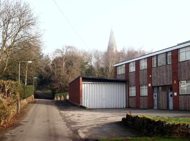
Image: © David Hallam-Jones Taken: 16 Feb 2013
Some maps continue to identify this building at the junction of Church Drive and Starch Lane - to the photographer's right - as a mill. Although the site may have housed a starch production plant, it now houses the premises of a light industrial enterprise. St Giles' Parish Hall is situated behind the hedge on the left.
Images are licensed for reuse under creativecommons.org/licenses/by-sa/2.0
Image Location
Latitude
52.929534
Longitude
-1.288277