Main Road in Pye Bridge
Introduction
The photograph on this page of Main Road in Pye Bridge by Jonathan Clitheroe as part of the Geograph project.
The Geograph project started in 2005 with the aim of publishing, organising and preserving representative images for every square kilometre of Great Britain, Ireland and the Isle of Man.

There are currently over 7.5m images from over 14,400 individuals and you can help contribute to the project by visiting https://www.geograph.org.uk
Main Road in Pye Bridge
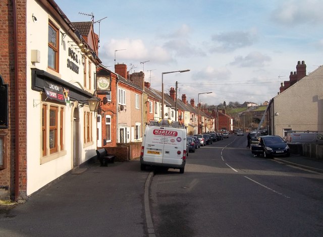
Image: © Jonathan Clitheroe Taken: 16 Feb 2013
Looking east from a position near the Dog and Doublet Public House which can be seen on the left. Pye Hill, also in this grid square can be seen in the distance.
Images are licensed for reuse under creativecommons.org/licenses/by-sa/2.0
Image Location
Latitude
53.071974
Longitude
-1.343693