Boundary field
Introduction
The photograph on this page of Boundary field by Adrian Bailey as part of the Geograph project.
The Geograph project started in 2005 with the aim of publishing, organising and preserving representative images for every square kilometre of Great Britain, Ireland and the Isle of Man.

There are currently over 7.5m images from over 14,400 individuals and you can help contribute to the project by visiting https://www.geograph.org.uk
Boundary field
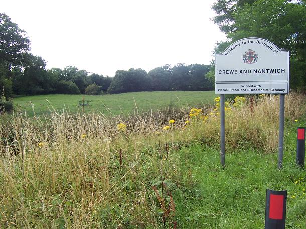
Image: © Adrian Bailey Taken: 2 Aug 2005
Looking SW from the A500 as it enters Cheshire.
Images are licensed for reuse under creativecommons.org/licenses/by-sa/2.0
Image Location


Leaflet Map data © OpenStreetMap
Latitude
53.067465
Longitude
-2.335742