Broughty Ferry Mix
Introduction
The photograph on this page of Broughty Ferry Mix by Douglas Nelson as part of the Geograph project.
The Geograph project started in 2005 with the aim of publishing, organising and preserving representative images for every square kilometre of Great Britain, Ireland and the Isle of Man.

There are currently over 7.5m images from over 14,400 individuals and you can help contribute to the project by visiting https://www.geograph.org.uk
Broughty Ferry Mix
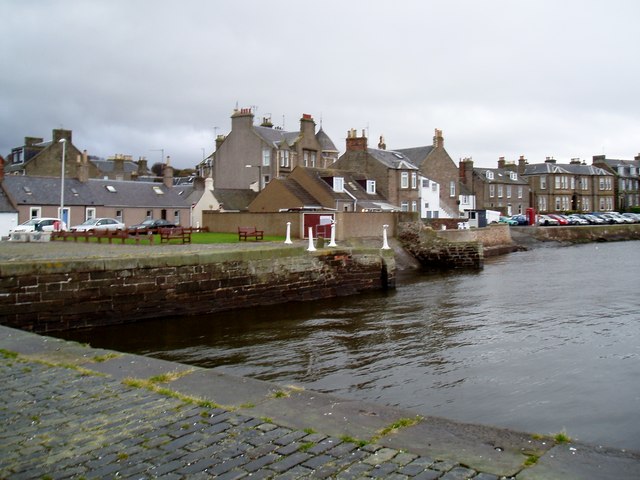
Image: © Douglas Nelson Taken: 9 Nov 2012
Taken towards Fisher Street and Gray Street, the photograph shows a mix of buildings from Victorian Villas to Fishermens cottages near one of the harbours.
Images are licensed for reuse under creativecommons.org/licenses/by-sa/2.0
Image Location
Latitude
56.464907
Longitude
-2.873912