Thames Path: approaching Putney
Introduction
The photograph on this page of Thames Path: approaching Putney by Dr Neil Clifton as part of the Geograph project.
The Geograph project started in 2005 with the aim of publishing, organising and preserving representative images for every square kilometre of Great Britain, Ireland and the Isle of Man.

There are currently over 7.5m images from over 14,400 individuals and you can help contribute to the project by visiting https://www.geograph.org.uk
Thames Path: approaching Putney
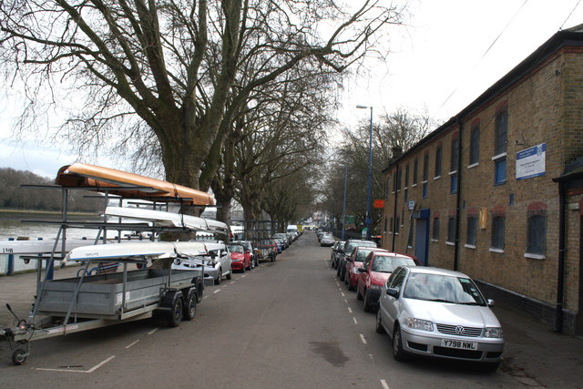
Image: © Dr Neil Clifton Taken: 16 Feb 2013
After the relative peace of the mostly-unmade Thames Path, this is the first point at which the motor car appears, parked along the road and also, regrettably, many on the hard that is intended for boats to be launched.
Images are licensed for reuse under creativecommons.org/licenses/by-sa/2.0
Image Location
Latitude
51.470457
Longitude
-0.221301