Weir on the Blackwater
Introduction
The photograph on this page of Weir on the Blackwater by Trevor Harris as part of the Geograph project.
The Geograph project started in 2005 with the aim of publishing, organising and preserving representative images for every square kilometre of Great Britain, Ireland and the Isle of Man.

There are currently over 7.5m images from over 14,400 individuals and you can help contribute to the project by visiting https://www.geograph.org.uk
Weir on the Blackwater
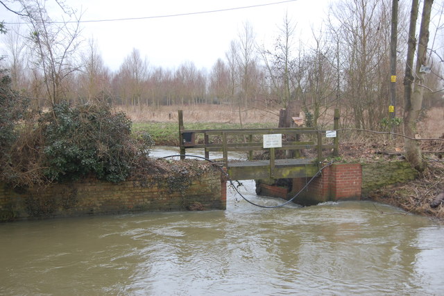
Image: © Trevor Harris Taken: 16 Feb 2013
The water overflows under the footbridge to follow the main river. to the left is the cut to provide water power for the former Rye Mill.
Images are licensed for reuse under creativecommons.org/licenses/by-sa/2.0
Image Location
Latitude
51.847511
Longitude
0.710867