View over Midanbury Lane and Avon Road
Introduction
The photograph on this page of View over Midanbury Lane and Avon Road by David Martin as part of the Geograph project.
The Geograph project started in 2005 with the aim of publishing, organising and preserving representative images for every square kilometre of Great Britain, Ireland and the Isle of Man.

There are currently over 7.5m images from over 14,400 individuals and you can help contribute to the project by visiting https://www.geograph.org.uk
View over Midanbury Lane and Avon Road
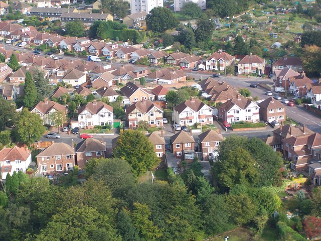
Image: © David Martin Taken: 20 Sep 2009
The central row of houses are on Midanbury Lane with Avon Road beyond. These streets are on a hill and aircraft approaching Southampton airport, as here, can appear alarmingly low!
Images are licensed for reuse under creativecommons.org/licenses/by-sa/2.0
Image Location
Latitude
50.924556
Longitude
-1.368094