Bland's Almshouses, Sandiacre, Derbys
Introduction
The photograph on this page of Bland's Almshouses, Sandiacre, Derbys by David Hallam-Jones as part of the Geograph project.
The Geograph project started in 2005 with the aim of publishing, organising and preserving representative images for every square kilometre of Great Britain, Ireland and the Isle of Man.

There are currently over 7.5m images from over 14,400 individuals and you can help contribute to the project by visiting https://www.geograph.org.uk
Bland's Almshouses, Sandiacre, Derbys
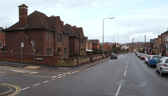
Image: © David Hallam-Jones Taken: 14 Feb 2013
On this corner, where Stevens Road branches off Derby Road (the B5010), passers-by get this glimpse of Dr Bland's Almshouses, two semi-detached properties funded in the early 20th century by a local doctor.
Images are licensed for reuse under creativecommons.org/licenses/by-sa/2.0
Image Location
Latitude
52.922111
Longitude
-1.294795