The Killeaton River, Derriaghy (2)
Introduction
The photograph on this page of The Killeaton River, Derriaghy (2) by Albert Bridge as part of the Geograph project.
The Geograph project started in 2005 with the aim of publishing, organising and preserving representative images for every square kilometre of Great Britain, Ireland and the Isle of Man.

There are currently over 7.5m images from over 14,400 individuals and you can help contribute to the project by visiting https://www.geograph.org.uk
The Killeaton River, Derriaghy (2)
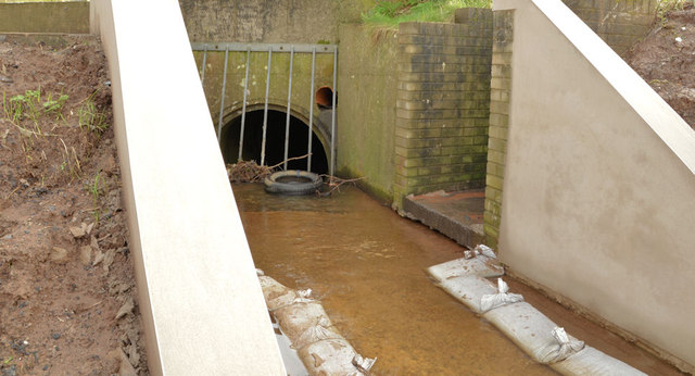
Image: © Albert Bridge Taken: 16 Feb 2013
See Image The Killeaton River about to go underground at Queensway. The Goole map and the satellite photograph do not quite coincide.
Images are licensed for reuse under creativecommons.org/licenses/by-sa/2.0
Image Location
Latitude
54.538163
Longitude
-6.024546