Avalon Road
Introduction
The photograph on this page of Avalon Road by Ian Capper as part of the Geograph project.
The Geograph project started in 2005 with the aim of publishing, organising and preserving representative images for every square kilometre of Great Britain, Ireland and the Isle of Man.

There are currently over 7.5m images from over 14,400 individuals and you can help contribute to the project by visiting https://www.geograph.org.uk
Avalon Road
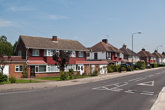
Image: © Ian Capper Taken: 22 May 2012
Mainly 1950s housing on this road linking Court Road with Chelsfield Lane - the one on the left of the photo, by the junction with Gillmans Road, is more recent.
Images are licensed for reuse under creativecommons.org/licenses/by-sa/2.0
Image Location
Latitude
51.372037
Longitude
0.111577