Steep descent into Llanbadarn Fawr
Introduction
The photograph on this page of Steep descent into Llanbadarn Fawr by Christopher Hilton as part of the Geograph project.
The Geograph project started in 2005 with the aim of publishing, organising and preserving representative images for every square kilometre of Great Britain, Ireland and the Isle of Man.

There are currently over 7.5m images from over 14,400 individuals and you can help contribute to the project by visiting https://www.geograph.org.uk
Steep descent into Llanbadarn Fawr
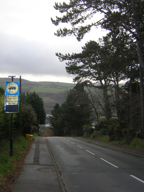
Image: © Christopher Hilton Taken: 15 Feb 2013
The lane, known locally as Cardiac Hill, has a gradient beyond this point of 1:4 or 25%. As the sign indicates, it is not suitable for lorries.
Images are licensed for reuse under creativecommons.org/licenses/by-sa/2.0
Image Location
Latitude
52.410743
Longitude
-4.05983