Boarded-up The Crown, Kidderminster
Introduction
The photograph on this page of Boarded-up The Crown, Kidderminster by Jaggery as part of the Geograph project.
The Geograph project started in 2005 with the aim of publishing, organising and preserving representative images for every square kilometre of Great Britain, Ireland and the Isle of Man.

There are currently over 7.5m images from over 14,400 individuals and you can help contribute to the project by visiting https://www.geograph.org.uk
Boarded-up The Crown, Kidderminster
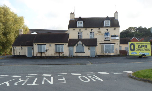
Image: © Jaggery Taken: 22 Sep 2012
This September 2012 view across Old Chester Road South shows The Crown closed, with metal sheets protecting doors and ground floor windows and To Let and For Sale boards on a wall. http://www.geograph.org.uk/photo/3333054 The pub was latterly an Italian restaurant.
Images are licensed for reuse under creativecommons.org/licenses/by-sa/2.0
Image Location
Latitude
52.370095
Longitude
-2.243769