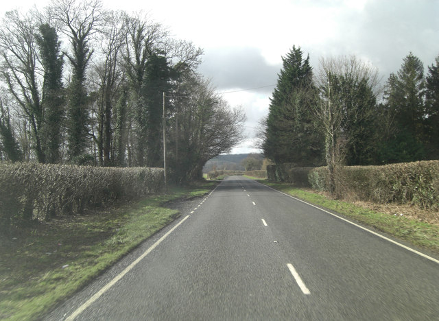
A343 passes The Bungalow
Introduction
The photograph on this page of A343 passes The Bungalow by Stuart Logan as part of the Geograph project.
The Geograph project started in 2005 with the aim of publishing, organising and preserving representative images for every square kilometre of Great Britain, Ireland and the Isle of Man.
There are currently over 7.5m images from over 14,400 individuals and you can help contribute to the project by visiting https://www.geograph.org.uk

Image: © Stuart Logan Taken: 14 Feb 2013
It might seem incongruous to see a line of dark conifers across an otherwise unblemised Hampshire hillside but these may have been planted as a shelter belt. Trees and bushes will shelter an area from the wind, in their lee, up to a distance of 40 times their height. Thus these 60 foot high trees would provide almost half a mile of wind abatement. It's also unusual to see the word Bungalow marked on a map. The term originated in India, deriving from the Gujarati બંગલો baṅgalo, which in turn derives from Hindi बंगला baṅglā, meaning "Bengali" and used elliptically for a "house in the Bengal style". Such houses were traditionally small, only one storey and detached, and had a wide veranda. http://en.wikipedia.org/wiki/Bungalow

