Shallow ribbons of water lining Church Lane, Coedkernew
Introduction
The photograph on this page of Shallow ribbons of water lining Church Lane, Coedkernew by Jaggery as part of the Geograph project.
The Geograph project started in 2005 with the aim of publishing, organising and preserving representative images for every square kilometre of Great Britain, Ireland and the Isle of Man.

There are currently over 7.5m images from over 14,400 individuals and you can help contribute to the project by visiting https://www.geograph.org.uk
Shallow ribbons of water lining Church Lane, Coedkernew
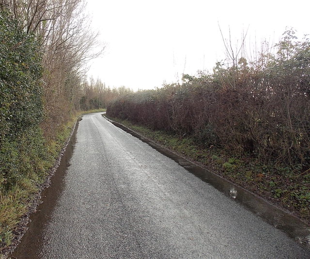
Image: © Jaggery Taken: 21 Dec 2012
There is a larger volume of standing water http://www.geograph.org.uk/photo/3333015 on Church Lane around the bend ahead.
Images are licensed for reuse under creativecommons.org/licenses/by-sa/2.0
Image Location


Leaflet Map data © OpenStreetMap
Latitude
51.551463
Longitude
-3.047897