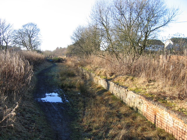
Ex-Plains
Introduction
The photograph on this page of Ex-Plains by A-M-Jervis as part of the Geograph project.
The Geograph project started in 2005 with the aim of publishing, organising and preserving representative images for every square kilometre of Great Britain, Ireland and the Isle of Man.
There are currently over 7.5m images from over 14,400 individuals and you can help contribute to the project by visiting https://www.geograph.org.uk

Image: © A-M-Jervis Taken: 14 Jan 2006
Plains railway station, on the line between Airdrie and Bathgate, was closed to passengers on 18 June 1951. The track between Bathgate and a point west of Plains was taken up about 1982 but the former station platform remained in situ, albeit overgrown, for another twenty years, being demolished only as part of the preparatory works for the re-opening of the line as an electrified railway at the end of 2010. There were hopes that Plains might once again have a railway station but it was not to be. Indeed, even the former level crossing at the end of Station Road was abolished, the road on the south side of the railway being diverted to a new bridge several hundred yards to the west.

