
Railway sign, Coleraine
Introduction
The photograph on this page of Railway sign, Coleraine by Albert Bridge as part of the Geograph project.
The Geograph project started in 2005 with the aim of publishing, organising and preserving representative images for every square kilometre of Great Britain, Ireland and the Isle of Man.

There are currently over 7.5m images from over 14,400 individuals and you can help contribute to the project by visiting https://www.geograph.org.uk
Railway sign, Coleraine
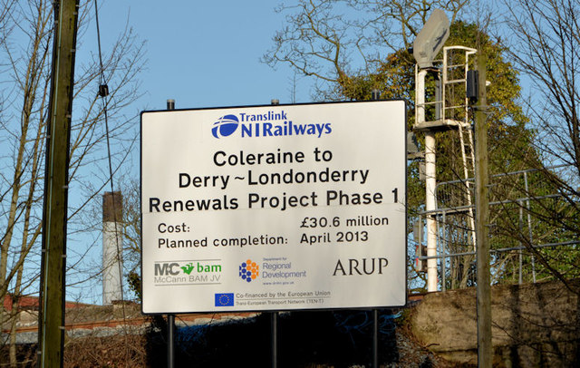
Image: © Albert Bridge Taken: 15 Feb 2013
A self-explanatory sign beside the railway bridge on the Millburn Road Image The scheme represents the only real investment in the line since the (long-since abolished) Ulster Transport Authority assumed responsibility in 1948. More is needed (and possible) but not in the immediate future. According to a Translink press release of 13 February 2013 “Translink NI Railways today confirmed that the railway line between Derry~Londonderry and Coleraine is to re-open on Sunday 24th March 2013”. This date is slightly earlier than expected – see Image
Images are licensed for reuse under creativecommons.org/licenses/by-sa/2.0
Image Location

Latitude
55.137714
Longitude
-6.667316