Church Mill
Introduction
The photograph on this page of Church Mill by Richard Croft as part of the Geograph project.
The Geograph project started in 2005 with the aim of publishing, organising and preserving representative images for every square kilometre of Great Britain, Ireland and the Isle of Man.

There are currently over 7.5m images from over 14,400 individuals and you can help contribute to the project by visiting https://www.geograph.org.uk
Church Mill
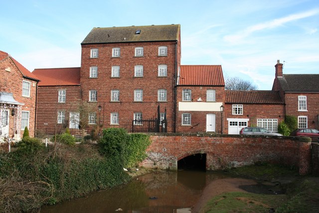
Image: © Richard Croft Taken: 1 Feb 2007
Built around 1830 as the warehouse for the proposed terminal basin of a canal from Bishopbridge to Market Rasen. The scheme was abandoned with the coming of the railways and the building was adapted to a mill with an undershot wheel, replaced by an Armfield Turbine in 1930, which ran until it closed in 1959. Now converted into flats.
Images are licensed for reuse under creativecommons.org/licenses/by-sa/2.0
Image Location
Latitude
53.388862
Longitude
-0.337383