Trowell railway junction, NG9
Introduction
The photograph on this page of Trowell railway junction, NG9 by David Hallam-Jones as part of the Geograph project.
The Geograph project started in 2005 with the aim of publishing, organising and preserving representative images for every square kilometre of Great Britain, Ireland and the Isle of Man.

There are currently over 7.5m images from over 14,400 individuals and you can help contribute to the project by visiting https://www.geograph.org.uk
Trowell railway junction, NG9
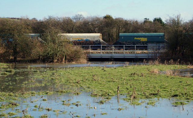
Image: © David Hallam-Jones Taken: 14 Feb 2013
A railway bridge carrying freight traffic (to the left) over the flooded River Erewash and towards Trowell Junction.
Images are licensed for reuse under creativecommons.org/licenses/by-sa/2.0
Image Location


Leaflet Map data © OpenStreetMap
Latitude
52.954434
Longitude
-1.288166