The A56 (Warrington Road) at Mickle Trafford
Introduction
The photograph on this page of The A56 (Warrington Road) at Mickle Trafford by Jeff Buck as part of the Geograph project.
The Geograph project started in 2005 with the aim of publishing, organising and preserving representative images for every square kilometre of Great Britain, Ireland and the Isle of Man.

There are currently over 7.5m images from over 14,400 individuals and you can help contribute to the project by visiting https://www.geograph.org.uk
The A56 (Warrington Road) at Mickle Trafford
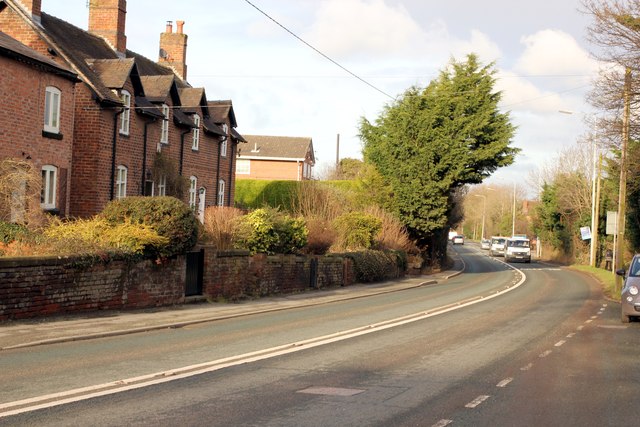
Image: © Jeff Buck Taken: 14 Feb 2013
The A56 as it passes through the centre of Mickle Trafford. Wikipedia http://en.wikipedia.org/wiki/Mickle_Trafford
Images are licensed for reuse under creativecommons.org/licenses/by-sa/2.0
Image Location
Latitude
53.221078
Longitude
-2.83254