Wightman Road
Introduction
The photograph on this page of Wightman Road by Martin Addison as part of the Geograph project.
The Geograph project started in 2005 with the aim of publishing, organising and preserving representative images for every square kilometre of Great Britain, Ireland and the Isle of Man.

There are currently over 7.5m images from over 14,400 individuals and you can help contribute to the project by visiting https://www.geograph.org.uk
Wightman Road
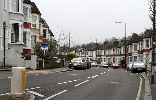
Image: © Martin Addison Taken: 12 Feb 2013
Forming the western boundary of the Harringay Ladder, this road roughly follows the line of the Great Northern mainline. The housing dates to circa 1880.
Images are licensed for reuse under creativecommons.org/licenses/by-sa/2.0
Image Location
Latitude
51.581783
Longitude
-0.106395