Lumley Forge Farm, 1968
Introduction
The photograph on this page of Lumley Forge Farm, 1968 by Derek Harper as part of the Geograph project.
The Geograph project started in 2005 with the aim of publishing, organising and preserving representative images for every square kilometre of Great Britain, Ireland and the Isle of Man.

There are currently over 7.5m images from over 14,400 individuals and you can help contribute to the project by visiting https://www.geograph.org.uk
Lumley Forge Farm, 1968
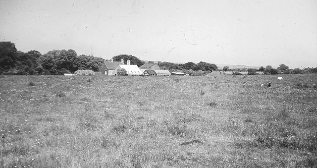
Image: © Derek Harper Taken: Unknown
A view of buildings at Brecon Hill from the B1284. Behind the farm buildings is the Smith's Arms, once the Blacksmith's Arms. The woodland beyond drops into Lumley Dene.
Images are licensed for reuse under creativecommons.org/licenses/by-sa/2.0
Image Location
Latitude
54.849856
Longitude
-1.535858