Long Lyes Sidings
Introduction
The photograph on this page of Long Lyes Sidings by David Liddle as part of the Geograph project.
The Geograph project started in 2005 with the aim of publishing, organising and preserving representative images for every square kilometre of Great Britain, Ireland and the Isle of Man.

There are currently over 7.5m images from over 14,400 individuals and you can help contribute to the project by visiting https://www.geograph.org.uk
Long Lyes Sidings
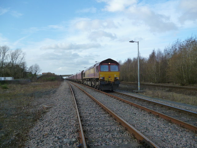
Image: © David Liddle Taken: 11 Feb 2013
Siding used to Run Round south bound coal services so they can go back to either Greenburn or New Cumnock for loading
Images are licensed for reuse under creativecommons.org/licenses/by-sa/2.0
Image Location
Latitude
55.615221
Longitude
-4.507728