East Street, Stanley
Introduction
The photograph on this page of East Street, Stanley by Robert Graham as part of the Geograph project.
The Geograph project started in 2005 with the aim of publishing, organising and preserving representative images for every square kilometre of Great Britain, Ireland and the Isle of Man.

There are currently over 7.5m images from over 14,400 individuals and you can help contribute to the project by visiting https://www.geograph.org.uk
East Street, Stanley
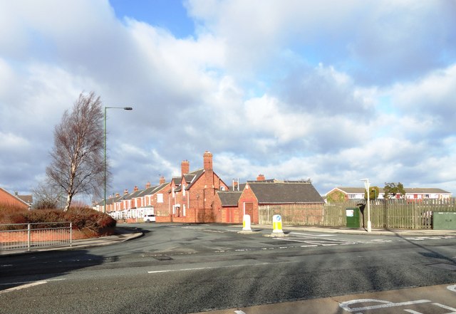
Image: © Robert Graham Taken: 6 Feb 2013
This road leads off the main A693 in East Stanley down the bank to Shield Row and the main Newcastle road.
Images are licensed for reuse under creativecommons.org/licenses/by-sa/2.0
Image Location
Latitude
54.872785
Longitude
-1.679271