G?t geffyl Meity isaf / Meity Isaf bridle gate
Introduction
The photograph on this page of G?t geffyl Meity isaf / Meity Isaf bridle gate by Alan Richards as part of the Geograph project.
The Geograph project started in 2005 with the aim of publishing, organising and preserving representative images for every square kilometre of Great Britain, Ireland and the Isle of Man.

There are currently over 7.5m images from over 14,400 individuals and you can help contribute to the project by visiting https://www.geograph.org.uk
G?t geffyl Meity isaf / Meity Isaf bridle gate
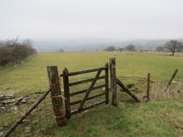
Image: © Alan Richards Taken: 11 Feb 2013
Gât geffyl sy wedi gweld dyddiau gwell ar lwybr ceffyl uwchben Ffarm Meity Isaf. A bridle gate which has seen better days on a bridleway above Meity Isaf Farm.
Images are licensed for reuse under creativecommons.org/licenses/by-sa/2.0
Image Location
Latitude
51.917778
Longitude
-3.664052