The old road to Worston
Introduction
The photograph on this page of The old road to Worston by Chris Heaton as part of the Geograph project.
The Geograph project started in 2005 with the aim of publishing, organising and preserving representative images for every square kilometre of Great Britain, Ireland and the Isle of Man.

There are currently over 7.5m images from over 14,400 individuals and you can help contribute to the project by visiting https://www.geograph.org.uk
The old road to Worston
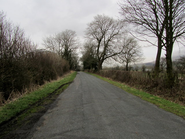
Image: © Chris Heaton Taken: 7 Feb 2013
Now only a dead end, and the preserve of walkers, cyclists and the odd stray motor vehicle. It used to run onto Worston, but its course has since been disrupted due to the construction of the Clitheroe by pass in the 1970's.
Images are licensed for reuse under creativecommons.org/licenses/by-sa/2.0
Image Location
Latitude
53.863822
Longitude
-2.374174