Approaching Tattenhall along Frog Lane.
Introduction
The photograph on this page of Approaching Tattenhall along Frog Lane. by John S Turner as part of the Geograph project.
The Geograph project started in 2005 with the aim of publishing, organising and preserving representative images for every square kilometre of Great Britain, Ireland and the Isle of Man.

There are currently over 7.5m images from over 14,400 individuals and you can help contribute to the project by visiting https://www.geograph.org.uk
Approaching Tattenhall along Frog Lane.
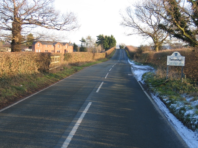
Image: © John S Turner Taken: 7 Feb 2007
Although the railway no longer exists, the railway bridge is still in place on this approach to Tattenhall. The house on the left is the old station house much extended and modified. See http://www.disused-stations.org.uk/t/tattenhall/index.shtml for more information on the station (including old photographs) and a history of the railway.
Images are licensed for reuse under creativecommons.org/licenses/by-sa/2.0
Image Location
Latitude
53.120755
Longitude
-2.779944