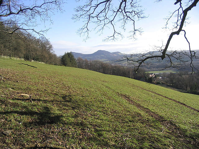
Pasture field at Crotchetknowe
Introduction
The photograph on this page of Pasture field at Crotchetknowe by Walter Baxter as part of the Geograph project.
The Geograph project started in 2005 with the aim of publishing, organising and preserving representative images for every square kilometre of Great Britain, Ireland and the Isle of Man.
There are currently over 7.5m images from over 14,400 individuals and you can help contribute to the project by visiting https://www.geograph.org.uk

Image: © Walter Baxter Taken: 5 Feb 2007
This steeply sloping field to the north of Melrose Road (B6374) is part of a 12.72 hectare site that has been allocated for housing in the Scottish Borders Local Plan. This view shows the Eildon Hills in the background and the edge of Langlee Community Woodlands on the left. Several conditions have been laid down in the planning guidance for this site, such as a woodland management plan and appropriate landscaping.

