Widford Viaduct
Introduction
The photograph on this page of Widford Viaduct by Paul Franks as part of the Geograph project.
The Geograph project started in 2005 with the aim of publishing, organising and preserving representative images for every square kilometre of Great Britain, Ireland and the Isle of Man.

There are currently over 7.5m images from over 14,400 individuals and you can help contribute to the project by visiting https://www.geograph.org.uk
Widford Viaduct
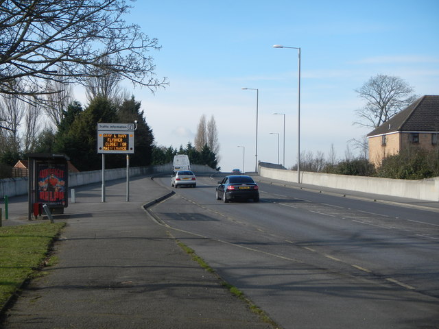
Image: © Paul Franks Taken: 8 Feb 2013
Built in the 1930's, the viaduct was reconstructed in 2005. It carries the A1114 over the London-Norwich railway line.
Images are licensed for reuse under creativecommons.org/licenses/by-sa/2.0
Image Location
Latitude
51.721807
Longitude
0.456311