Evelyn Place
Introduction
The photograph on this page of Evelyn Place by Paul Franks as part of the Geograph project.
The Geograph project started in 2005 with the aim of publishing, organising and preserving representative images for every square kilometre of Great Britain, Ireland and the Isle of Man.

There are currently over 7.5m images from over 14,400 individuals and you can help contribute to the project by visiting https://www.geograph.org.uk
Evelyn Place
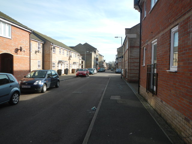
Image: © Paul Franks Taken: 8 Feb 2013
A typical street in 'The Village'.Many of the houses have no rear access for refuse collection, so wheelie bins have to be left outside the front doors. Beyond the mini roundabout (not immediately obvious in the photo), is Rookes Crescent (TL6905), which is not actually a crescent. The streets are named after Colonel Rookes Evelyn Bell Crompton, whose factory once stood on this site.
Images are licensed for reuse under creativecommons.org/licenses/by-sa/2.0
Image Location
Latitude
51.72711
Longitude
0.456453