Flooded road near Kirklington
Introduction
The photograph on this page of Flooded road near Kirklington by J.Hannan-Briggs as part of the Geograph project.
The Geograph project started in 2005 with the aim of publishing, organising and preserving representative images for every square kilometre of Great Britain, Ireland and the Isle of Man.

There are currently over 7.5m images from over 14,400 individuals and you can help contribute to the project by visiting https://www.geograph.org.uk
Flooded road near Kirklington
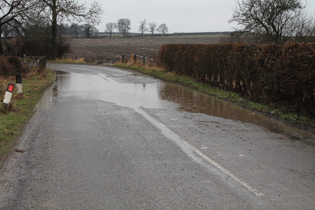
Image: © J.Hannan-Briggs Taken: 10 Feb 2013
Winter 2012-13 experienced large amounts of rainfall. The ground is saturated, so further rain creates flooding.
Images are licensed for reuse under creativecommons.org/licenses/by-sa/2.0
Image Location
Latitude
53.120224
Longitude
-0.993009