Entering Bridgefield from the southeast
Introduction
The photograph on this page of Entering Bridgefield from the southeast by John Baker as part of the Geograph project.
The Geograph project started in 2005 with the aim of publishing, organising and preserving representative images for every square kilometre of Great Britain, Ireland and the Isle of Man.

There are currently over 7.5m images from over 14,400 individuals and you can help contribute to the project by visiting https://www.geograph.org.uk
Entering Bridgefield from the southeast
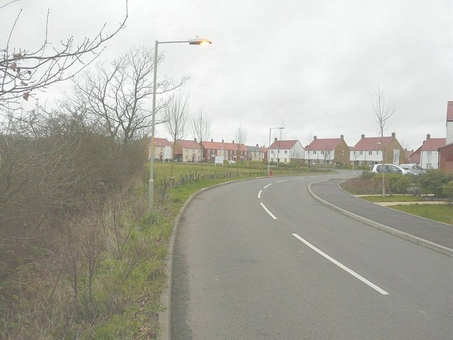
Image: © John Baker Taken: 3 Feb 2013
Along Cheeseman's Green Lane, which leads into Rutledge Avenue.
Images are licensed for reuse under creativecommons.org/licenses/by-sa/2.0
Image Location
Latitude
51.110685
Longitude
0.882405