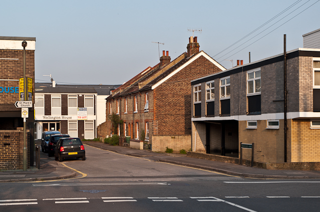
Birkheads Road
Introduction
The photograph on this page of Birkheads Road by Ian Capper as part of the Geograph project.
The Geograph project started in 2005 with the aim of publishing, organising and preserving representative images for every square kilometre of Great Britain, Ireland and the Isle of Man.
There are currently over 7.5m images from over 14,400 individuals and you can help contribute to the project by visiting https://www.geograph.org.uk

Image: © Ian Capper Taken: 23 May 2012
A short stub of Birkheads Road to the east of Alma Road (in the foreground). Maps suggest that the terrace of cottages date from the very end of the 19th/start of the 20th century. These have survived, whereas other buildings at the time, including what is marked on the 1896 1:2,500 map as a "lecture room", but shown on the 1963 1:2,500 map as St Mark's Church Hall, where the building on the far left of the photo now stands, have all been replaced by offices.

