Tumbledown allotment shack
Introduction
The photograph on this page of Tumbledown allotment shack by Karl Smt as part of the Geograph project.
The Geograph project started in 2005 with the aim of publishing, organising and preserving representative images for every square kilometre of Great Britain, Ireland and the Isle of Man.

There are currently over 7.5m images from over 14,400 individuals and you can help contribute to the project by visiting https://www.geograph.org.uk
Tumbledown allotment shack
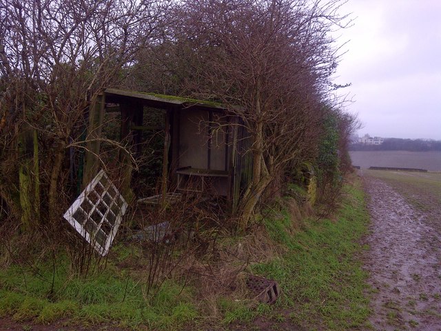
Image: © Karl Smt Taken: 10 Feb 2013
Rear of Wesley Road North allotments looking west towards Wales High School
Images are licensed for reuse under creativecommons.org/licenses/by-sa/2.0
Image Location
Latitude
53.344061
Longitude
-1.264873