Houses in Cherington
Introduction
The photograph on this page of Houses in Cherington by Graham Horn as part of the Geograph project.
The Geograph project started in 2005 with the aim of publishing, organising and preserving representative images for every square kilometre of Great Britain, Ireland and the Isle of Man.

There are currently over 7.5m images from over 14,400 individuals and you can help contribute to the project by visiting https://www.geograph.org.uk
Houses in Cherington
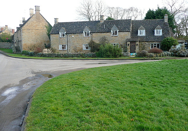
Image: © Graham Horn Taken: 4 Feb 2013
On Shakespeare's Way, coming from the north, Cherington is the first village where Cotswold stone seems to give the village its character. Berrill's Lane is to the right, and is the route of the Way to the south.
Images are licensed for reuse under creativecommons.org/licenses/by-sa/2.0
Image Location


Leaflet Map data © OpenStreetMap
Latitude
52.025348
Longitude
-1.577589