Cherington churchyard
Introduction
The photograph on this page of Cherington churchyard by Graham Horn as part of the Geograph project.
The Geograph project started in 2005 with the aim of publishing, organising and preserving representative images for every square kilometre of Great Britain, Ireland and the Isle of Man.

There are currently over 7.5m images from over 14,400 individuals and you can help contribute to the project by visiting https://www.geograph.org.uk
Cherington churchyard
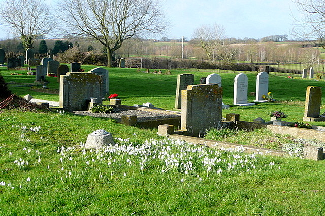
Image: © Graham Horn Taken: 4 Feb 2013
Snowdrops, the harbinger of Spring. It was very cold today though, with a stiff westerly wind, as we sat and ate our lunch here whilst walking Shakespeare's Way.
Images are licensed for reuse under creativecommons.org/licenses/by-sa/2.0
Image Location


Leaflet Map data © OpenStreetMap
Latitude
52.027052
Longitude
-1.576407