The Village
Introduction
The photograph on this page of The Village by Paul Franks as part of the Geograph project.
The Geograph project started in 2005 with the aim of publishing, organising and preserving representative images for every square kilometre of Great Britain, Ireland and the Isle of Man.

There are currently over 7.5m images from over 14,400 individuals and you can help contribute to the project by visiting https://www.geograph.org.uk
The Village
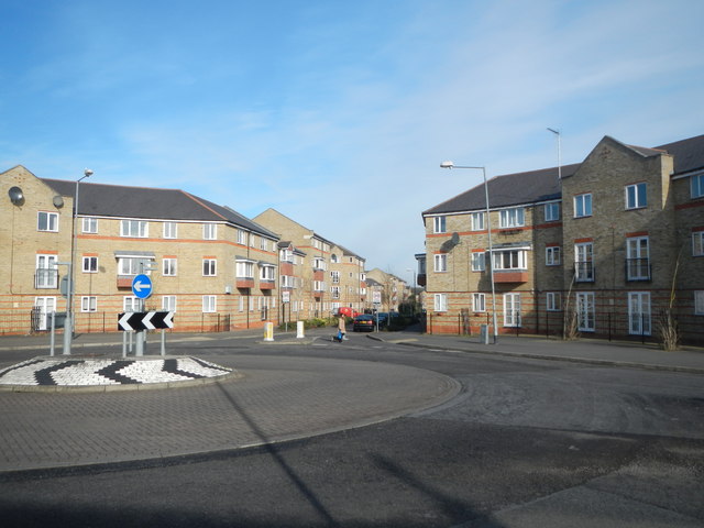
Image: © Paul Franks Taken: 8 Feb 2013
A development of private and social housing built on the site of Marconi Radar. Part of the site had been Crompton's Arc Works, later Crompton Parkinson, and roads in The Village are named after Crompton and Parkinson, but not Marconi. The road seen here, beyond the roundabout, is Parkinson Drive.
Images are licensed for reuse under creativecommons.org/licenses/by-sa/2.0
Image Location
Latitude
51.726559
Longitude
0.457003