Derelict Steps
Introduction
The photograph on this page of Derelict Steps by Paul Franks as part of the Geograph project.
The Geograph project started in 2005 with the aim of publishing, organising and preserving representative images for every square kilometre of Great Britain, Ireland and the Isle of Man.

There are currently over 7.5m images from over 14,400 individuals and you can help contribute to the project by visiting https://www.geograph.org.uk
Derelict Steps
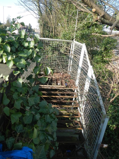
Image: © Paul Franks Taken: 8 Feb 2013
These steps were for pedestrian access to the Marconi Radar factory from Writtle Road bridge. They fell out of use several years before the factory itself closed.
Images are licensed for reuse under creativecommons.org/licenses/by-sa/2.0
Image Location
Latitude
51.725984
Longitude
0.458709