Dock View Road buildings viewed from Barry Docks railway station
Introduction
The photograph on this page of Dock View Road buildings viewed from Barry Docks railway station by Jaggery as part of the Geograph project.
The Geograph project started in 2005 with the aim of publishing, organising and preserving representative images for every square kilometre of Great Britain, Ireland and the Isle of Man.

There are currently over 7.5m images from over 14,400 individuals and you can help contribute to the project by visiting https://www.geograph.org.uk
Dock View Road buildings viewed from Barry Docks railway station
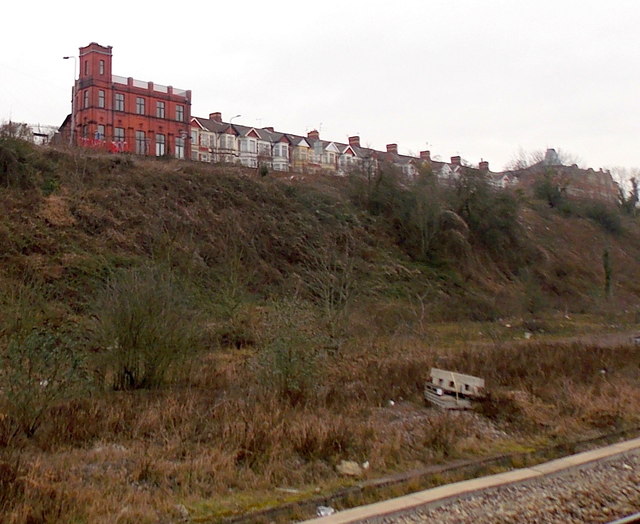
Image: © Jaggery Taken: 6 Jan 2013
A view of Dock View Road between Castleland Street and George Street. The large brick building, a former Seamen's Institute, http://www.geograph.org.uk/photo/1897179 is on the corner of Castleland Street.
Images are licensed for reuse under creativecommons.org/licenses/by-sa/2.0
Image Location
Latitude
51.404061
Longitude
-3.26046