Southern end of Avenue Andre Clement, Lydney
Introduction
The photograph on this page of Southern end of Avenue Andre Clement, Lydney by Jaggery as part of the Geograph project.
The Geograph project started in 2005 with the aim of publishing, organising and preserving representative images for every square kilometre of Great Britain, Ireland and the Isle of Man.

There are currently over 7.5m images from over 14,400 individuals and you can help contribute to the project by visiting https://www.geograph.org.uk
Southern end of Avenue Andre Clement, Lydney
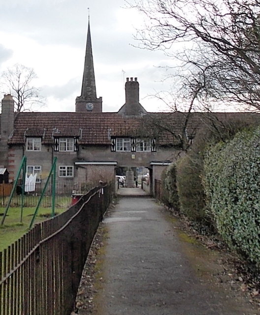
Image: © Jaggery Taken: 8 Feb 2013
Avenue Andre Clement is a footpath through Bathurst Park. Ahead, the path passes under these http://www.geograph.org.uk/photo/1944223 former almshouse. St Mary's church steeple http://www.geograph.org.uk/photo/3325837 is in the background.
Images are licensed for reuse under creativecommons.org/licenses/by-sa/2.0
Image Location
Latitude
51.721274
Longitude
-2.532684