Ashley Heath
Introduction
The photograph on this page of Ashley Heath by Rude Health as part of the Geograph project.
The Geograph project started in 2005 with the aim of publishing, organising and preserving representative images for every square kilometre of Great Britain, Ireland and the Isle of Man.

There are currently over 7.5m images from over 14,400 individuals and you can help contribute to the project by visiting https://www.geograph.org.uk
Ashley Heath
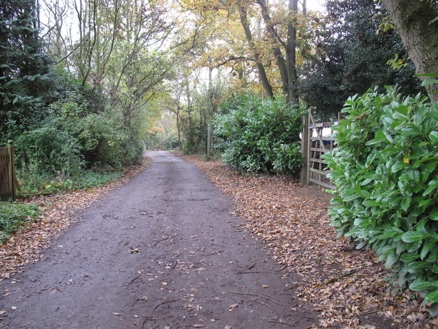
Image: © Rude Health Taken: 31 Oct 2010
Park at end of Tower Road on grey dry morning. Top on road beside house called Whinberry whose owner wondered what I was doing with my camera and GPS. Name: Ashley Heath Hill number: 5391 Height: 236m / 774ft Area: 36: Lancashire, Cheshire & the Southern Pennines Class: Hu Grid ref: SJ745357 (est) Drop: 119m Col: 117m SJ792406
Images are licensed for reuse under creativecommons.org/licenses/by-sa/2.0
Image Location
Latitude
52.919011
Longitude
-2.379358