Swing in Broadstrood
Introduction
The photograph on this page of Swing in Broadstrood by Glyn Baker as part of the Geograph project.
The Geograph project started in 2005 with the aim of publishing, organising and preserving representative images for every square kilometre of Great Britain, Ireland and the Isle of Man.

There are currently over 7.5m images from over 14,400 individuals and you can help contribute to the project by visiting https://www.geograph.org.uk
Swing in Broadstrood
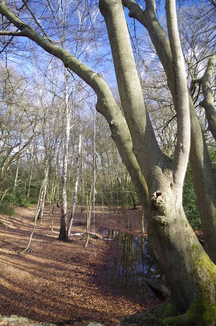
Image: © Glyn Baker Taken: 8 Feb 2013
Conclusive proof the yoof of today are not all enslaved by facetube, ubook, twitter and the xbox etc. Some of them still go out and try to break their necks in the traditional manner! I wouldn't fancy trusting my life to such an insubstantial bit of cord.
Images are licensed for reuse under creativecommons.org/licenses/by-sa/2.0
Image Location
Latitude
51.665358
Longitude
0.067432