Bodmin Radio Station buildings by the A30
Introduction
The photograph on this page of Bodmin Radio Station buildings by the A30 by David Smith as part of the Geograph project.
The Geograph project started in 2005 with the aim of publishing, organising and preserving representative images for every square kilometre of Great Britain, Ireland and the Isle of Man.

There are currently over 7.5m images from over 14,400 individuals and you can help contribute to the project by visiting https://www.geograph.org.uk
Bodmin Radio Station buildings by the A30
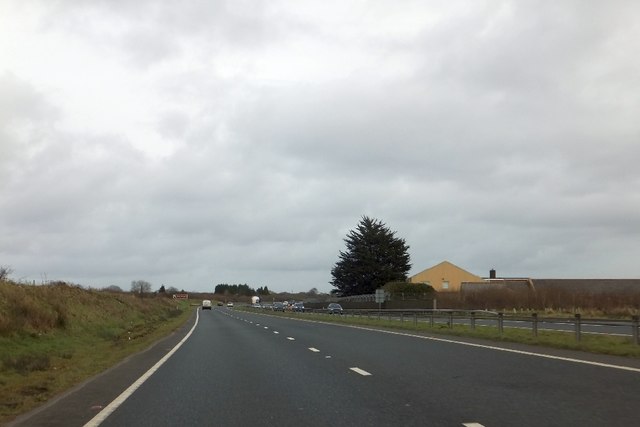
Image: © David Smith Taken: 1 Feb 2013
Until 2002 this was an active radio station with several aerials and vehicles passing on the A30 suffered interference on car radios. Changed technology has made the aerials redundant,
Images are licensed for reuse under creativecommons.org/licenses/by-sa/2.0
Image Location
Latitude
50.430886
Longitude
-4.792067