Langlee Housing Estate
Introduction
The photograph on this page of Langlee Housing Estate by Walter Baxter as part of the Geograph project.
The Geograph project started in 2005 with the aim of publishing, organising and preserving representative images for every square kilometre of Great Britain, Ireland and the Isle of Man.

There are currently over 7.5m images from over 14,400 individuals and you can help contribute to the project by visiting https://www.geograph.org.uk
Langlee Housing Estate
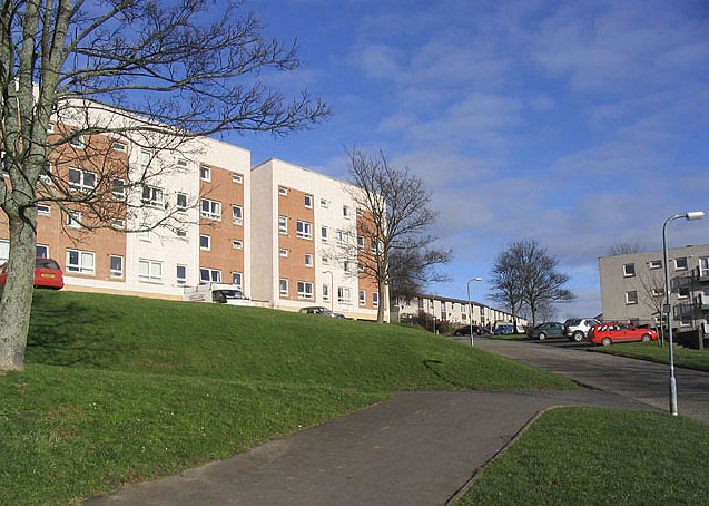
Image: © Walter Baxter Taken: 5 Feb 2006
Houses at Rose Court on the north side of the Melrose Road (B6374). Part of a large scale expansion to the 1950s housing scheme on the south side of Melrose Road, much of which is Scandinavian-influenced social housing of the late 1960s and '70s. Unfortunately the visual impact of this scheme is quite considerable, even from places such as Scott's View, 5 miles to the east.
Images are licensed for reuse under creativecommons.org/licenses/by-sa/2.0
Image Location


Leaflet Map data © OpenStreetMap
Latitude
55.612329
Longitude
-2.779122